
|
 |
||||
Today my girlfriend and I decided to take the airplane to Ocean City, NJ. It was a great day out with very mild temperatures for this time of year. Here we are crossing the Chesapeake and Delaware canal. 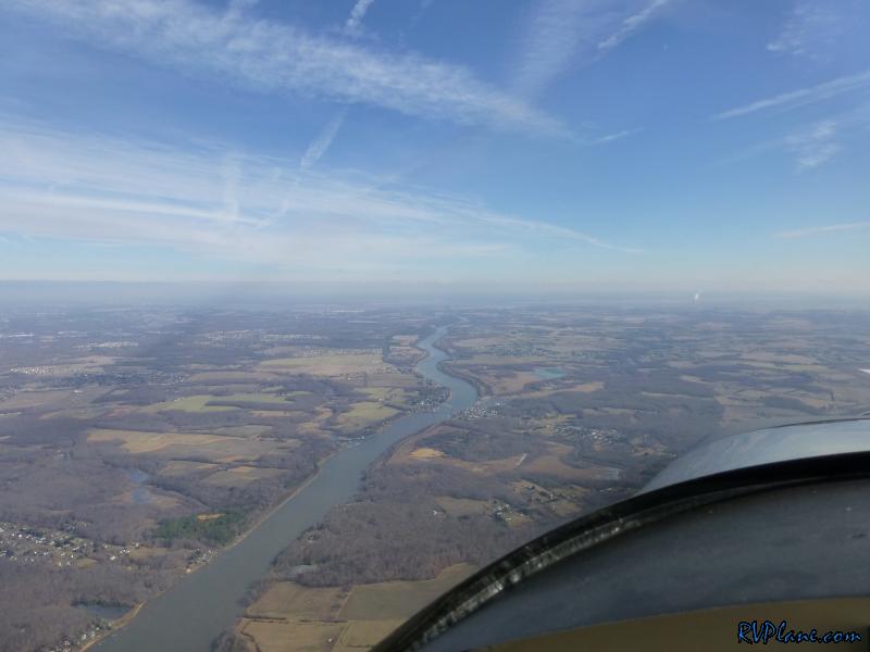 We were scooting right along - 27 kts tailwind. 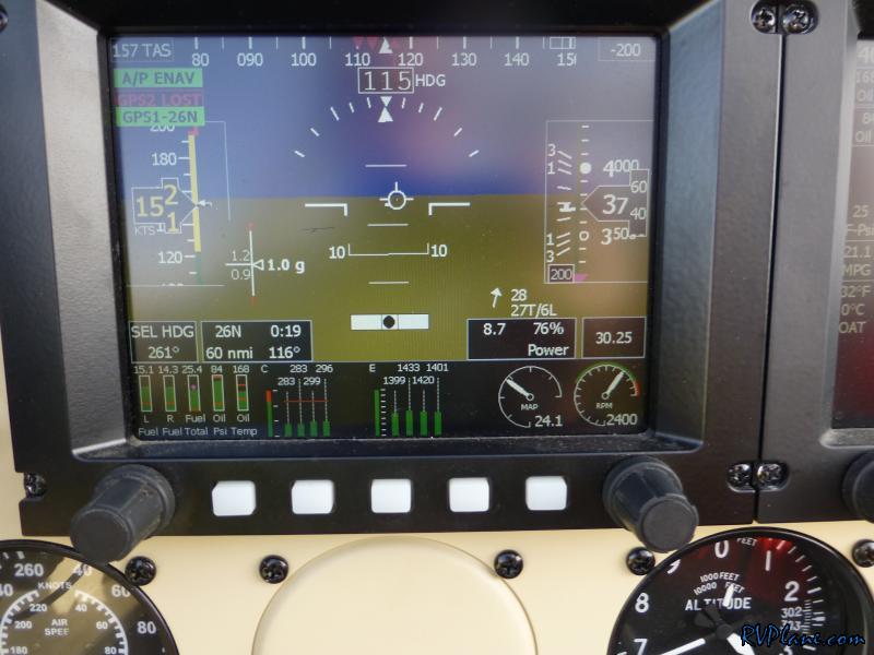 The OAT at 3700' was also nice - 32 degrees. Notice how the GPS2 signal was lost. For some reason my Garmin GPS puck didn't work the entire trip over. 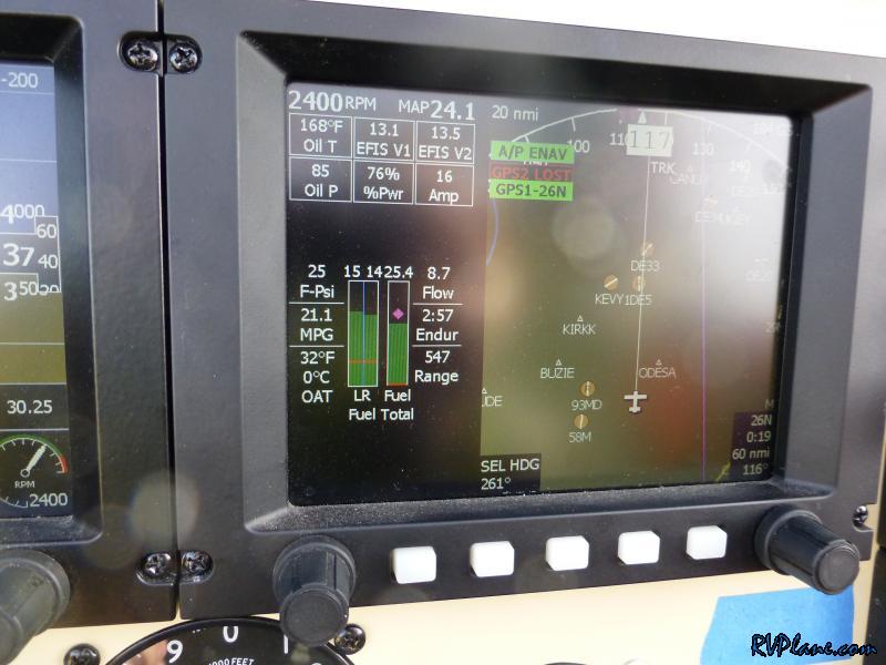 Zoomin' across the ground at 184 kts. 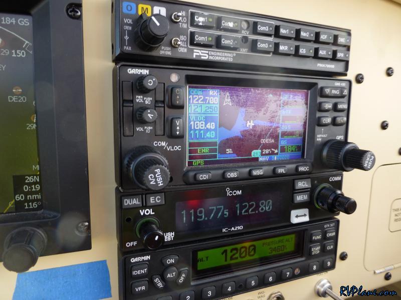 One landmark that is hard to miss is the Salem Nuclear power plant on the New Jersey side of the Delaware river. The land is extremely flat around it, and it sticks out like a sore thumb. It's easy to see for 50 miles away on a clear day. With a combined 3,572 megawatts between its two reactors, the Salem-Hope Creek complex on Artificial Island is the largest nuclear generating facility in the eastern United States and the second largest nationwide. 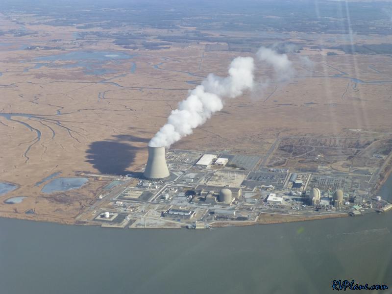 There was a super stiff and gusty crosswind landing at Ocean City, NJ (26N). Somehow I managed to get it on the ground on the first try - it wasn't my prettiest landing! 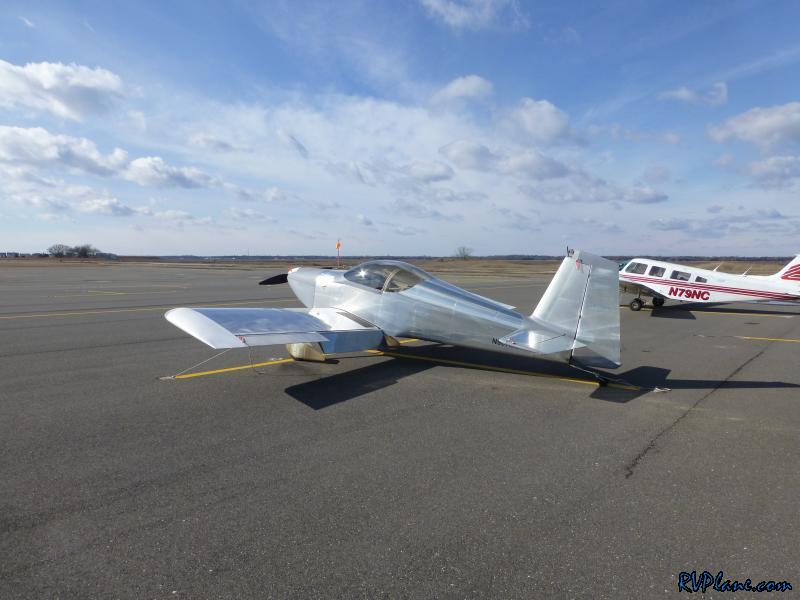 The Ocean City boardwalk is a short 10 minute walk from the airport, which starts on 23rd street. Most of the food and attractions don't start until 9th street, so it's a good hike to get to anything outside of the airport. This time of year, not much is open, as most of the restaurants are seasonal. Vittorio's Italian Restaurant on Asbury Avenue (referred to by the locals as "The Avenue") was open and seemed to have a good selection of food. Their french onion soup was to die for, with fresh provolone cheese.  We walked back on the bay side of the island. While on our way, I spotted another power plant - The Beesley's Point Generating Station. This plant burns up to 7% used tires. 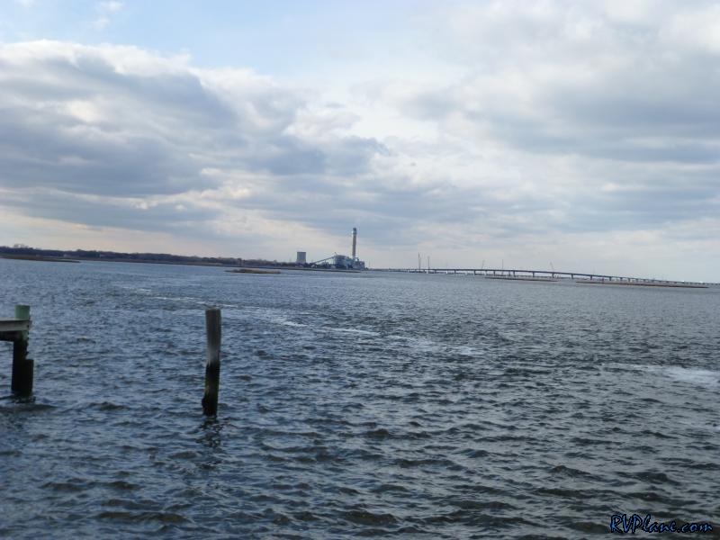 The bay side of Ocean City was quite nice and picturesque. 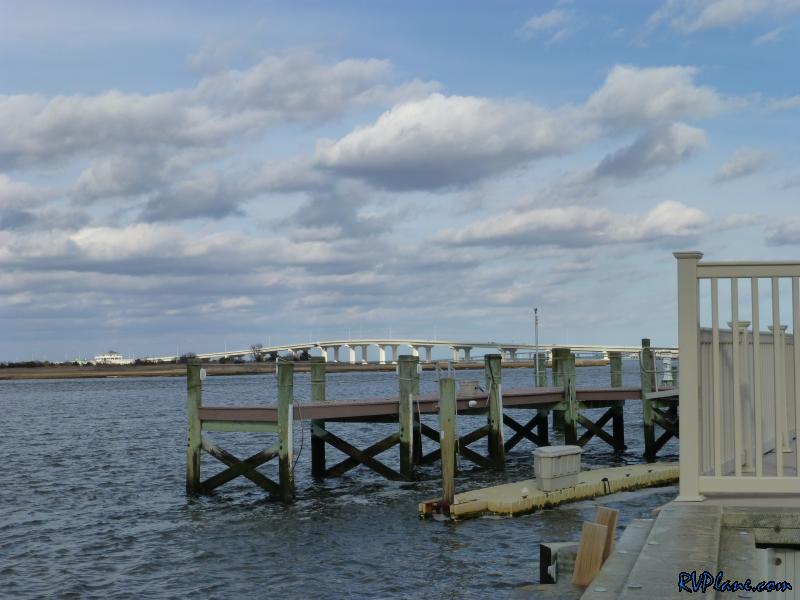 Some weather was due to move in back home, so we scooted off home. I was very happy with my EGT's and CHT's for the entire trip. Right where they should be. 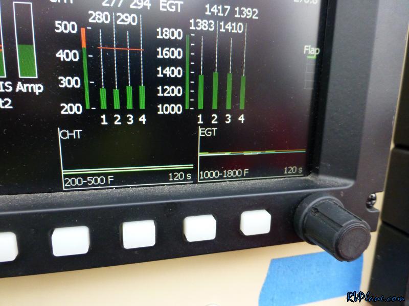 Some clouds moved in at about 3,500' for the trip home. It made for some pretty scenery. 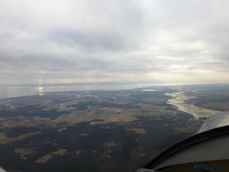 One thing I noticed on the ADS-B weather was the granularity of the rain seemed to be much finer than what I remembered. I don't know if Garmin changed something, or if the FAA is transmitting more detailed weather imagery. 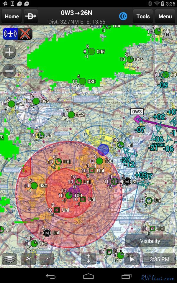
|
|||||
|
http://RVplane.com |
Last Modified: June 22, 2025 |